Table of Contents
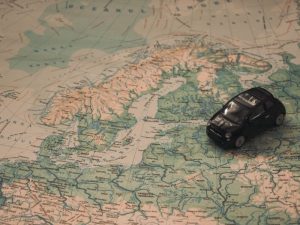
Research has revealed that there are over 300 million people who visit national parks, wilderness areas, and forests on a yearly basis. Just so you know, cellular signals do not extend to these places and maps might serve as the only reference you can use in case an emergency happens.
In case there is flooding close to you, it is important to know how you can go to the nearest high elevation to you. If an injury occurs, you also need to seek help by getting to the closest high traffic area. If your path is cut off by a wild animal, you have to look for an alternate route immediately.
The last thing you want is to get caught in the middle of nowhere clutching your phone, hoping that you will get a signal. Paper maps can save your life, especially in the most unexpected situations.
Maps Make Complex Information Simple
World maps take complicated sets of data and show them in the form of a pleasing graphic that you can use for answering questions about the world around you.
Imagine yourself as an elementary student and you asked your teacher to show you how big the US is compared to the rest of the countries.

Maps Serve as History’s Blueprint
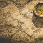
Maps give you a good idea of how people understood the world during the time they created the map. Take old maps, for instance. Of course, an old map shows you the different things that used to be there and those that exist there now. Maps also show you how mapmakers understood the world during their time. However, a political map uses different labels, symbols, or colors to distinguish between numerous political jurisdictions.
Are there missing parts of the world because they weren’t aware of its existence? Is there any inaccuracy due to wrong assumptions? The way a map looks is completely changed by the cartographer and why the maps were developed in the first place.
Maps are like wonderful time capsules that explain more beyond how geography is depicted.


